Collection: Irish Maps & Vintage Map of Ireland Prints
Four centuries of Irish cartography — from 17th-century European mapmakers to the great surveys of the Victorian era.
Beautifully restored vintage maps of Ireland spanning the island's historic counties, coastlines, and place names as early cartographers recorded them. Detailed historic maps of Dublin document the city's development from its earliest street plans through the 19th century. These are rare documents, carefully reproduced on 250gsm archival matte paper, available framed in solid wood or unframed.
Old maps of Ireland reveal not just geography but the way the island was imagined and understood by different eras. Historically significant, visually striking, and unlike anything else you can put on a wall. Free worldwide shipping.

-
Memoir of a Map of Ireland by Daniel Augustus Beaufort
Regular price From €65,00 EURRegular price -
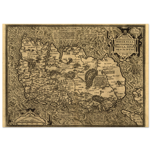
The Kingdom of Ireland Map Print
Regular price €119,00 EURRegular price -
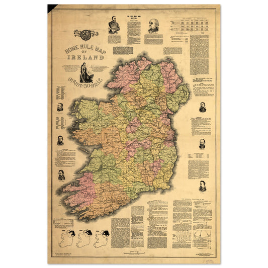
Home Rule Map of Ireland - 1893 Historical
Regular price From €89,00 EURRegular price -
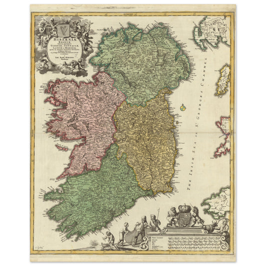
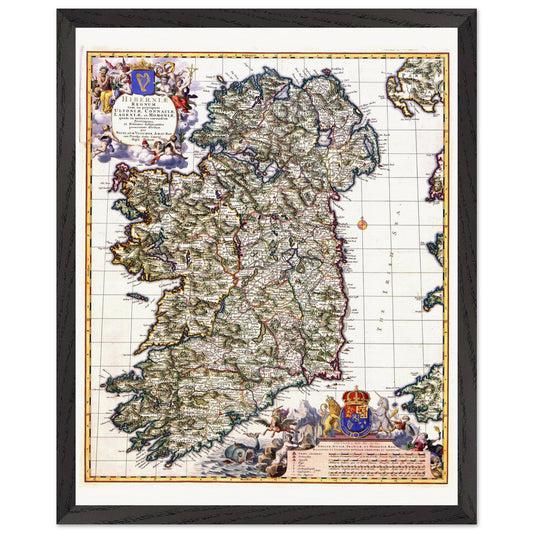
Hiberniae, Britannicae Insvlae nova descripto Ireland Map Print
Regular price From €65,00 EURRegular price -
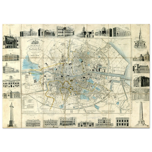
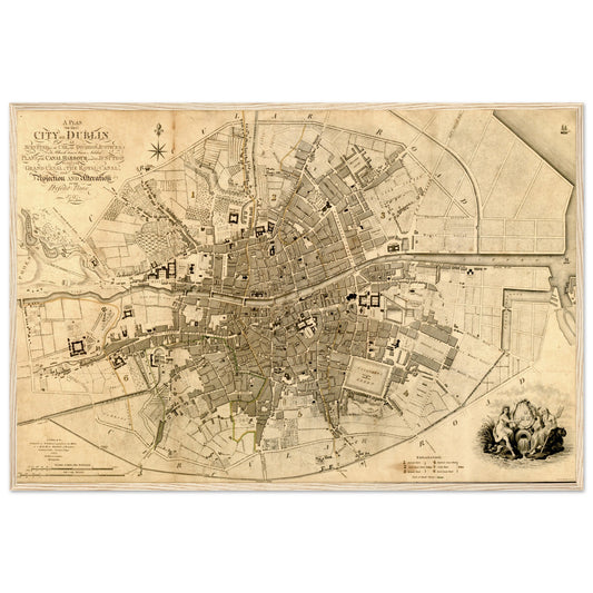
Cooke's Royal Map of Dublin – Art Print
Regular price From €65,00 EURRegular price -
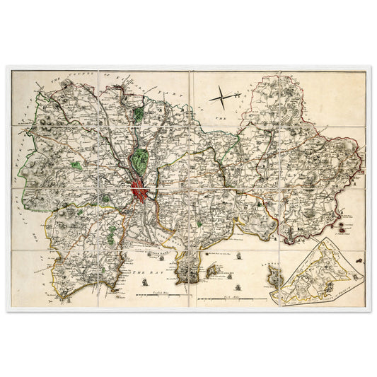
Map of County Dublin by John Rocque – 18th Century
Regular price From €169,00 EURRegular price -
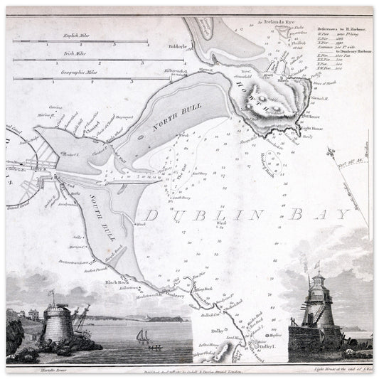
Nautical Map of Dublin Bay – Seapoint & Poolbeg
Regular price From €75,00 EURRegular price -
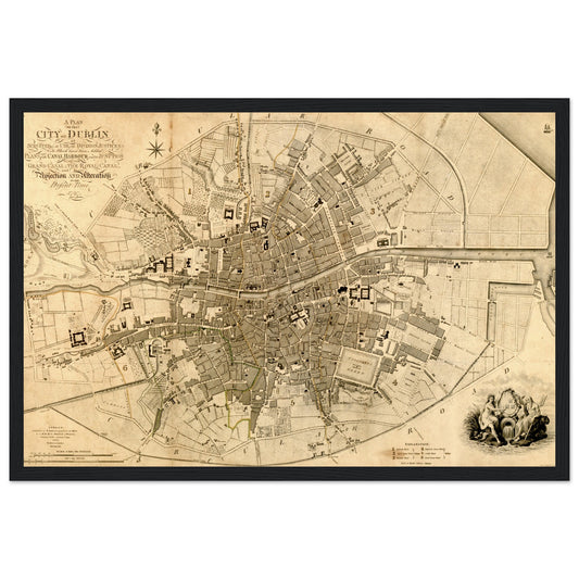
1797 Dublin Map by William Faden Framed Print
Regular price From €169,00 EURRegular price -
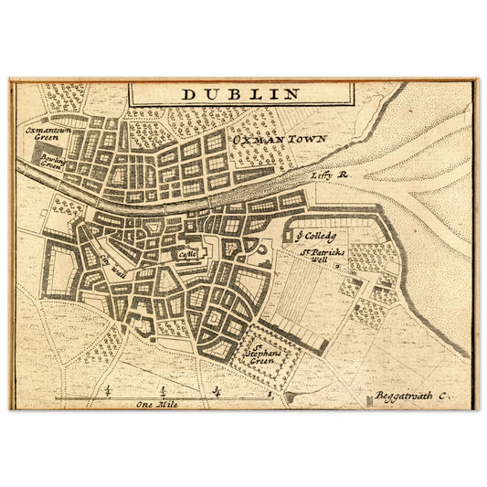
Map of Dublin City in 1714 by Herman Moll
Regular price From €65,00 EURRegular price -
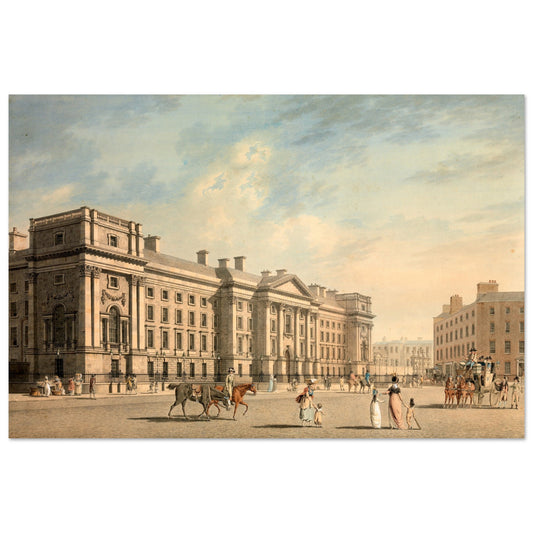
Trinity College, College Green – James Malton
Regular price From €99,00 EURRegular price -
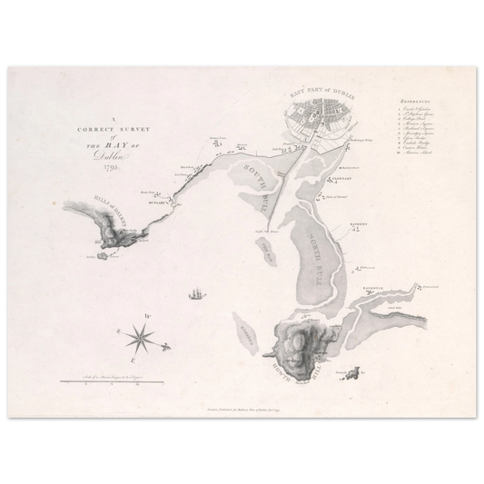
A Correct Survey of the Bay of Dublin, 1795 – James Malton Map Print
Regular price From €85,00 EURRegular price -
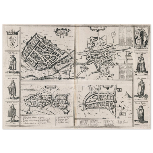
Town Plans of Dublin, Cork, Limerick & Galway 1618
Regular price From €79,00 EURRegular price -
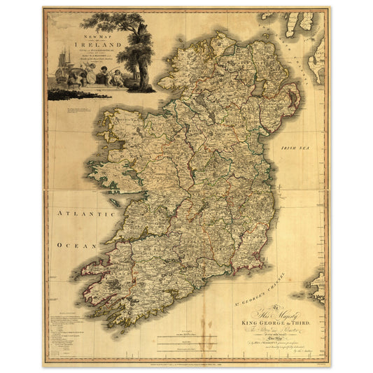
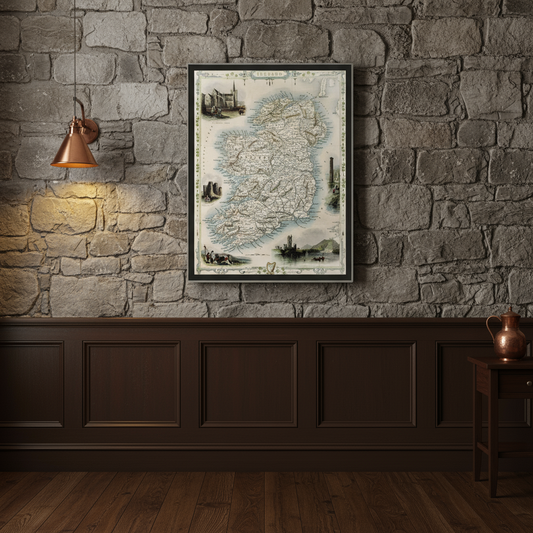
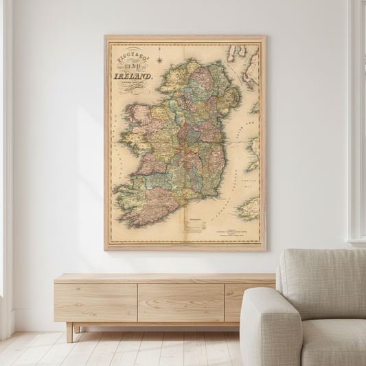
Old Map of Ireland – Vintage Antique Framed Print
Regular price From €159,00 EURRegular price€0,00 EURSale price From €159,00 EUR -
Visscher 1689 Map of Ireland Art Print | Historic Irish Cartography
Regular price From €119,00 EURRegular price -
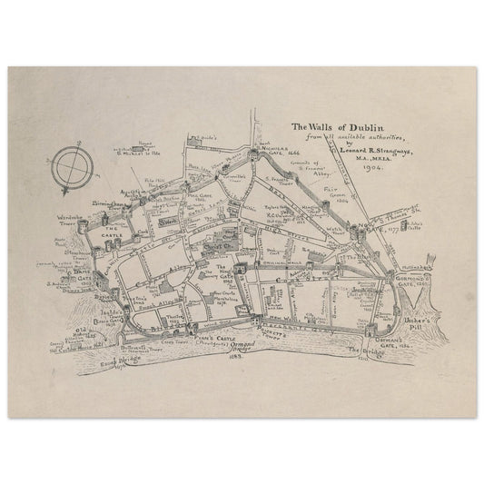
The Walls of Dublin — Antique City Map Print | Historic Irish Wall Art
Regular price From €85,00 EURRegular price -
Map of Ireland Print – Framed Wall Art
Regular price From €85,00 EURRegular price