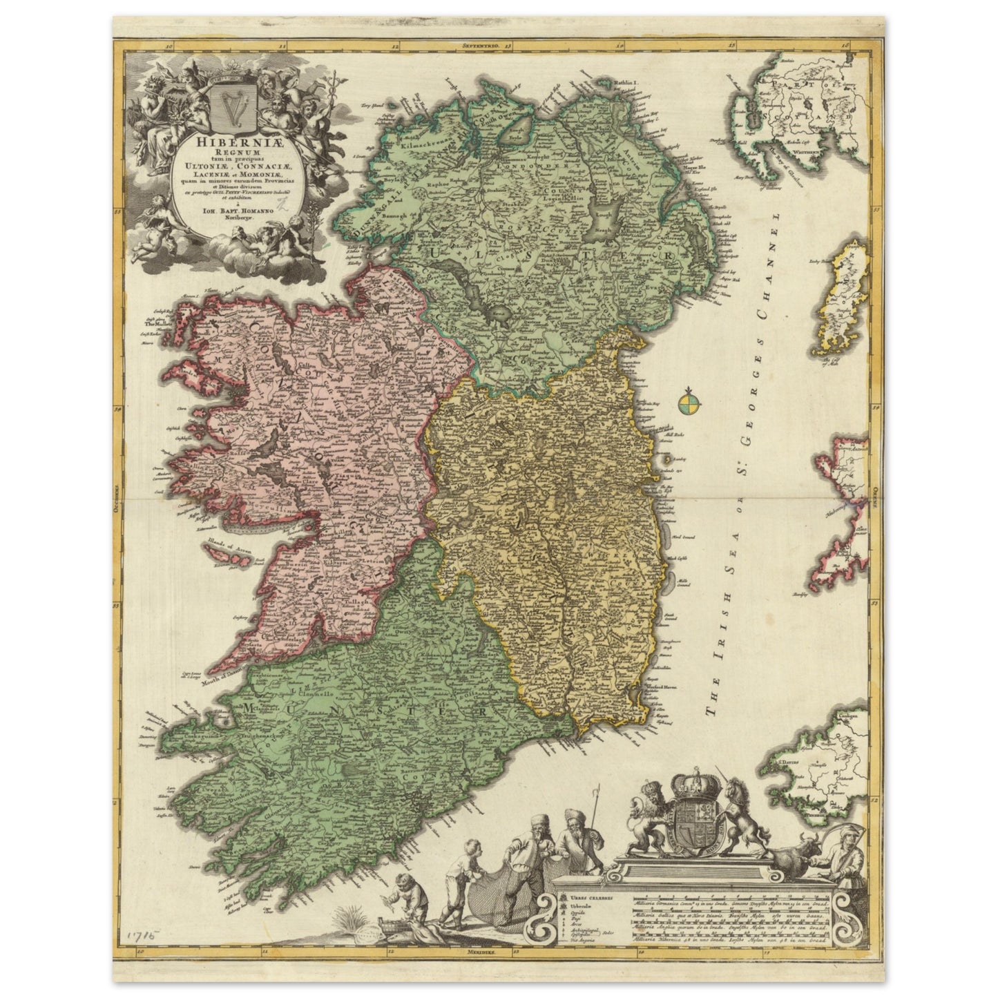
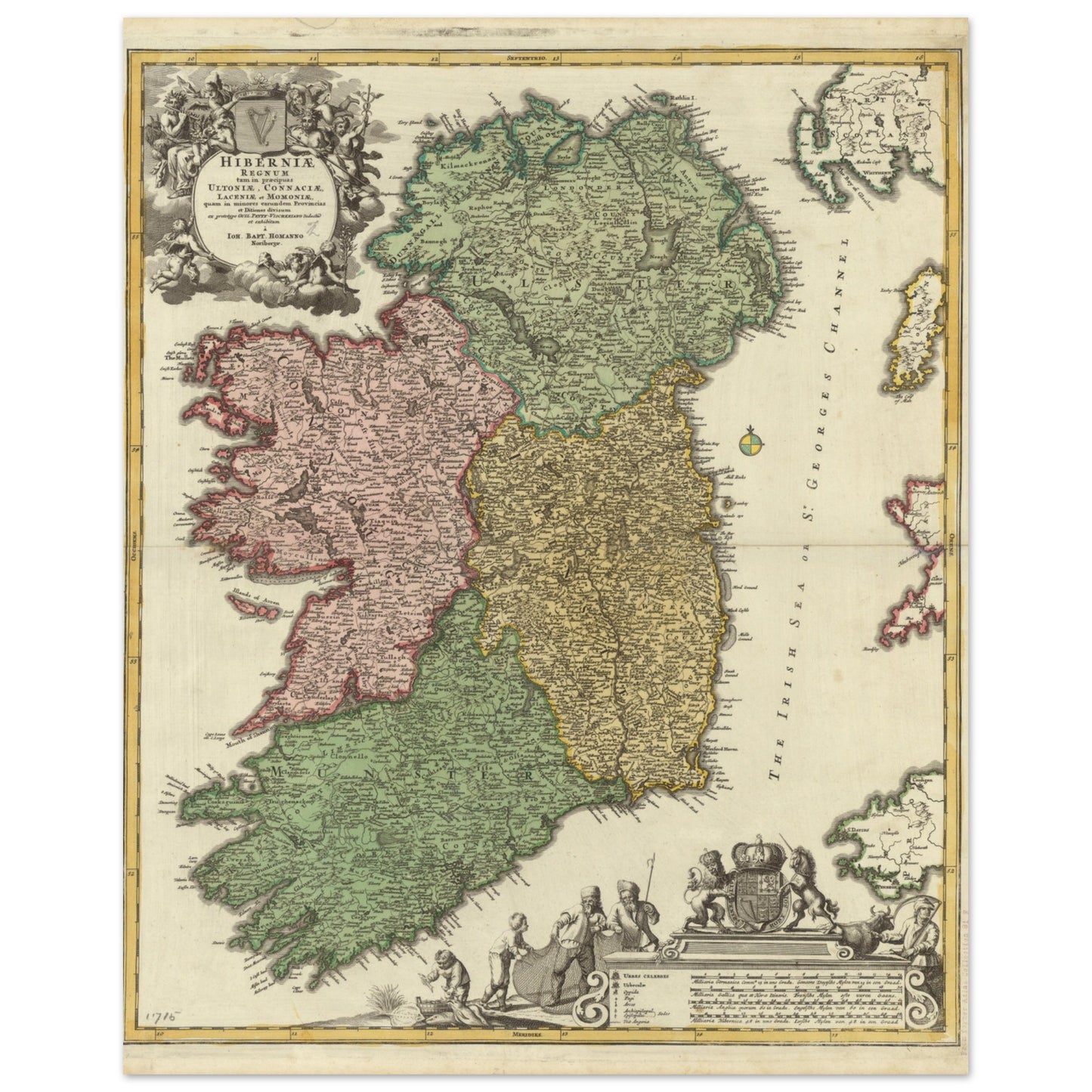
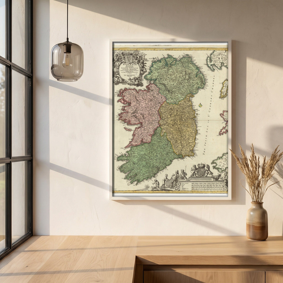
Johann Baptist Homann published this map of Ireland in 1715, with the four historic provinces — Connacht, Leinster, Munster and Ulster — marked out in colour.
This print is based on foundational works by notable figures like Nicolaes Visscher and Sir William Petty, providing insight into Ireland's historical landscape during the 17th century. Each print features vibrant colours that delineate the four historic provinces—Connacht, Leinster, Munster, and Ulster—alongside intricate details of counties, towns, and geographic features. Written in Latin, the map also showcases English place names alongside their original Celtic renditions, reflecting Ireland's rich linguistic tapestry.
Sizes & Format
40 × 50 cm / 16 × 20″
Available unframed
Print & Frame Details
Archival matte paper, 250gsm (110lb), acid-free and FSC-certified — off-white, uncoated. Unframed prints up to A4 ship flat; larger sizes ship rolled in a protective tube.
Free Worldwide Shipping
Every order ships free, made to order and delivered from the hub closest to you: Ireland 3–7 business days · UK 4–8 · USA 5–10 · Canada 6–12 · Australia 7–14.