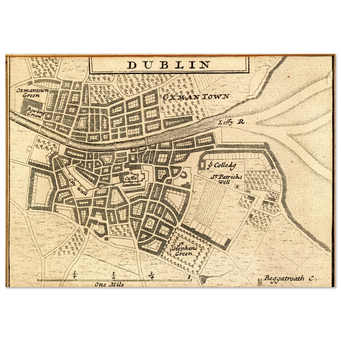
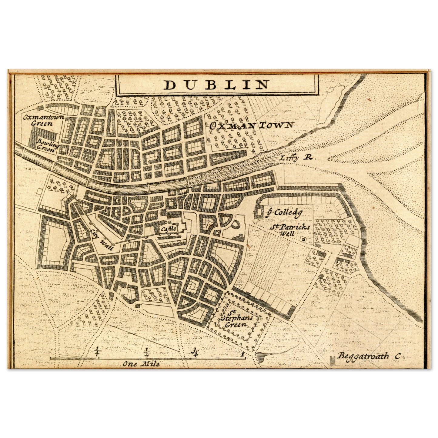
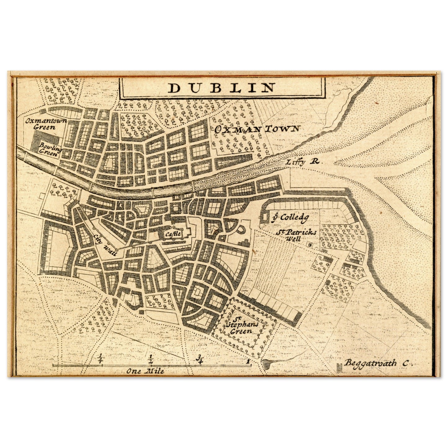
Herman Moll drew Dublin in 1714 with Oxmantown on the north bank and Saint Stephen's Green on the south, the Liffey running between them — the Georgian city just beginning to take its shape.
Originally part of Moll's renowned New Map of Ireland, this sheet is one of the earliest printed views of the city as a whole. Printed from the National Gallery of Ireland's collection, it maintains all the intricate details and charm of the original.
National Gallery of Ireland Collection.
Sizes & Format
A4 21 × 29.7 cm / 8 × 12″
A3 (29.7 × 42 cm)
A2 (42 × 59.4 cm)
A1 (59.4 × 84.1 cm)
Available unframed
Print & Frame Details
Archival matte paper, 250gsm (110lb), acid-free and FSC-certified — off-white, uncoated. Unframed prints up to A4 ship flat; larger sizes ship rolled in a protective tube.
Free Worldwide Shipping
Every order ships free, made to order and delivered from the hub closest to you: Ireland 3–7 business days · UK 4–8 · USA 5–10 · Canada 6–12 · Australia 7–14.